Reading List for GEOG0114
If you are having problems securing one or any of these recommended books from the UCL library or elsewhere. You can access PDF versions HERE
Spatial analysis for data science
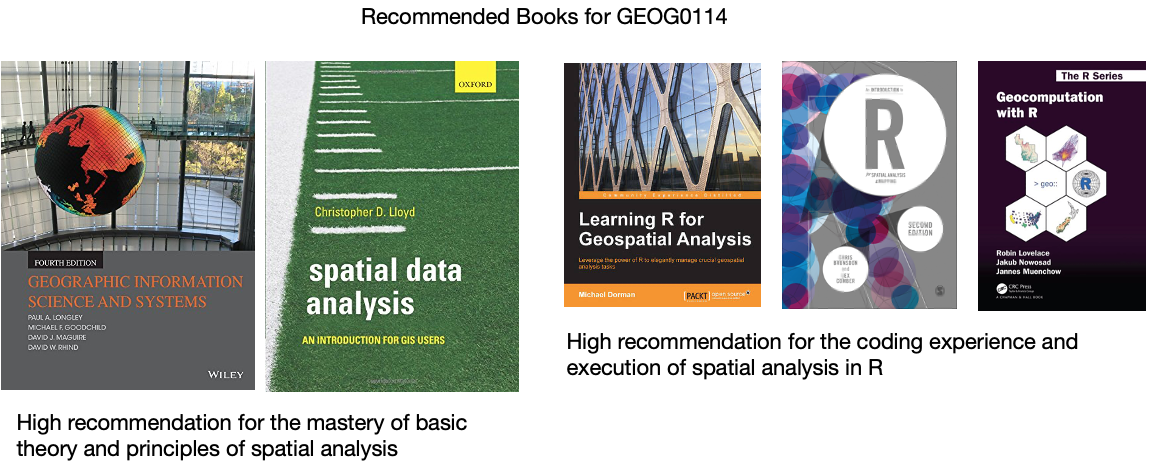
- Book: [Theory] Longley, P. et al (2015) Geographic Information Science & Systems (4th Edition); Chapters 2: The Nature of Geographic Data Click link (Note: use of your UCL login via institutional organisation (UK Federation) is required to access the digital book)
- Book: [Theory] Longley, P. et al (2015) Geographic Information Science & Systems (4th Edition); Chapters 3: Representing Geography Click link (Note: use of your UCL login via institutional organisation (UK Federation) is required to access the digital book)
- Book: [R Programming] Brunsdon, C. et al (2018) An Introduction to R for Spatial Analysis and Mapping; Chapter 3: Basics of Handling Spatial Data in R Click link (Note: Books can be borrowed from UCL’s Library)
- Book: [R Programming] Dorman, M. (2014) Learning R for Geospatial Analysis; Chapter 1: The R Environment Click link (Note: Digital book)
- Book: [R Programming] Dorman, M. (2014) Learning R for Geospatial Analysis; Chapter 3: Working with tables Click link (Note: Digital book)
- Paper: [R Programming] Tennekes, M. (2018). tmap: Thematic Maps in R. Journal of Statistical Software, 84(6), 1–39. https://doi.org/10.18637/jss.v084.i06 (Download)
Graphical representation of spatial data
- Gitbook: [R Programming] Gimond, M. (2021) Intro to GIS and spatial analysis. Chapter 8: Spatial operations and vector overlays Click link
- Book: [Theory] Longley, P. et al (2015) Geographic Information Science & systems, Chapter 13: Spatial Analysis Click link
- Gitbook: [R Programming] Lovelace, R., Nowosad, J. and Muenchow, J. (2021) Geocomputation with R, Chapter 4: Spatial data operations Click link
- Gitbook: [R Programming] Lovelace, R., Nowosad, J. and Muenchow, J. 2021. Geocomputation with R, Chapter 5: Geometry operations Click link
- Paper: [Research] Bijnens, E. et al (2020). Residential green space and child intelligence and behavior across urban, suburban, and rural areas in Belgium: A longitudinal birth cohort study of twins. PLOS Medicine 17(8), e1003213. Click link
Spatial autocorrelation
- Gitbook: [R Programming] Gimond, M. (2021) Intro to GIS and spatial analysis. Chapter 13: Spatial autocorrelation Click link
- Book: [Theory] Longley, P. et al (2015) Geographic Information Science & systems (4th Edition); Chapter 2: The Nature of Geographic Data Click link
- Book: [Theory] Longley, P. et al (2015) Geographic Information Science & systems (4th Edition); Chapter 13: Spatial Analysis Click link
- Paper: [Research] Radil, S. 2016. Spatial analysis of crime. In: Huebner, B. and Bynum, T. The Handbook of Measurement Issues in Criminology and Criminal Justice, Chapter 24, pp.536-554. Click link (Note: use of your UCL login via institutional organisation (UK Federation) is required to access the digital paper)
- Book: [R Programming] Brunsdon, C. et al (2018) An Introduction to R for Spatial Analysis and Mapping; Chapter 7: Spatial Attribute Analysis with R, (See pages 257 to 262) Click link (Note: Books can be borrowed from UCL’s Library)
- Book: [R Programming] Brunsdon, C. et al (2018) An Introduction to R for Spatial Analysis and Mapping; Chapter 8: Localised Spatial Analysis, (See pages 281 to 289) Click link (Note: Books can be borrowed from UCL’s Library)
- Book: [Theory] Lloyd, C.D., et al (2010) Spatial Data Analysis: An Introduction for GIS Users; Chapter 4: Key concepts 3 - Spatial Data Analysis, (See pages 43 to 64)
- Book: [Theory] Lloyd, C.D., et al (2010) Spatial Data Analysis: An Introduction for GIS Users; Chapter 8: Local Univariate Measures, (See section 8.4.1. [Local Spatial Autocorrelation] on pages 110 to 113)
Suitability Mapping I
- Paper: [Theory] R.W. Saaty (1987). The Analytical Hierarchy Process - What it is and how it is used, Mathl Modelling, Volume 9(3-5), pages 161 to 176 Click link
- Technical Document: [Theory] IDRISI Kilimanjaro: Guide to GIS and Image Processing. Chapter 12: Decision Support - Decision Strategy Analysis, Section on ‘A Typology of Decisions’, pages 151 to 154. Click link
- Paper: [Application] A.A. Ali, A. Ahmad (2019). Spatial susceptibility analysis of vector-borne diseases in KMC using geospatial technique and MCDM approach, Modeling Earth Systems and Environment, Issue 5, pages 1135–1159 Click link
- Paper: [Application] X. Zhao et al., (2020). Malaria Risk Map Using Spatial Multi-Criteria Decision Analysis along Yunnan Border During the Pre-elimination Period, Am J Trop Med Hyg, Volume 103 (2), pages 793–809 Click link
- Paper: [Application] B. Ahmed (2015). Landslide susceptibility mapping using multi-criteria evaluation techniques in Chittagong Metropolitan Area, Bangladesh. Landslides, Issue 12, pages 1077–1095 Click link
- Book: [R Programming] Dorman, M. (2014) Learning R for Geospatial Analysis; Chapter 3: Working with Rasters Click link (Note: Digital book)
Suitability Mapping II
- Book: [R Programming] Dorman, M. (2014) Learning R for Geospatial Analysis; Chapter 3: Working with Rasters Click link (Note: Digital book)
- Book: [Theory] Stockwell, D. (2019) Niche Modeling: Predictions from Statistical Distributions; Chapter 4: Topology; CRC Press; pages: 45-63.
- Online: [Tutorials] Hijmans, R.J., & Elith, J. (2021) Species distribution modelling Click link
- Online: [Tutorials] Kerkhoff, D. (2016) Ecological Responses to Climate Change: Species Distribution Modelling using Maxent Click link
- Paper: [Application] Escobar, L.E., (2020). Ecological Niche Modeling: An Introduction for Veterinarians and Epidemiologists, Frontiers in Veterinary Science Click link
- Paper: [Application] Banks, W.E., (2017). The application of ecological niche modeling methods to archaeological data in order to examine culture-environment relationships and cultural trajectories; Quarternaire Click link
- Paper: [Application] Liao, Y., Lei, Y., Ren, Z., Chen, H., & Li., D., (2017). Predicting the potential risk area of illegal vaccine trade in China; Scientific Reports, Issue 7, 3883. Click link
Geostatistical Modelling
- Technical Document: [R Programming] Gurpreet Singh and Biju Soman, (2020), Spatial Interpolation using Kriging in R. Download here
- Technical Document: [R Programming] Fernando Antonanzas-Torres, (2014), Geostatistics examples in R: Ordinary Kriging, Universal Kriging and Inverse Distance Weighted. Download here
- Technical Document: [R Programming] Adela Volfova and Martin Smejkal, (2012), Geostatistical Methods in R. Download here
- Book: [R Programming] Roger S. Bivand, Edzer J. Pebesma and Virgilio Gomez-Rubio, (2008), Applied Spatial Data Analysis with R, Chapter 8: Interpolation and Geostatistics, pages 191 to 235.
- Book: [R Programming] Michael Dorman, (2014), Learning R for Geospatial Analysis, Chapter 8: Spatial Interpolation of Point Data, pages 241 to 279. Click link (Note: Digital book)
- Book: [Theory] Christopher D. Lloyd, (2010), Spatial Data Analysis: An Introduction for GIS Users, Chapter 9: Spatial Interpolation (Section 9.7. Ordinary Kriging), pages 140 to 150.
Spatial Models I
- Paper: [Application] Guangqing Chi and Jun Zhu (2008) Spatial Regression Models for Demographic Analysis, Popul Res Policy Rev, 27:17-42. DOI 10.1007/s11113-007-9051-8
- Book Chapter: [Theory] David Darmofal, (2015), Chapter Six: Spatial Lag and Spatial Error Models (2015). Social Analysis for the Social Sciences. Cambridge Press Gain Access to PDF via Institutional login
- Paper: [Application] Wen-Ching Wang, Yu-Ju Chang & Hsueh-Ching Wang, (2019), An Application of the Spatial Autocorrelation Method on the Change of Real Estate Prices in Taitung City. Int Jour Geo-Information, (8)249, doi:10.3390/ijgi8060249
- Online Tutorial: [R Programming] Reka Solymosi and Juanjo Medina (2022) Crime Mapping in R, Chapter 9: Spatial Regression Models Click link
Spatial Models II
- Book: [R Programming] Brunsdon, C. et al (2018) An Introduction to R for Spatial Analysis and Mapping; Chapter 7: Spatial Attribute Analysis with R, (See pages 257 to 262) Click link (Note: Books can be borrowed from UCL’s Library)
- Book: [R Programming] Brunsdon, C. et al (2018) An Introduction to R for Spatial Analysis and Mapping; Chapter 8: Localised Spatial Analysis, (See pages 281 to 289) Click link (Note: Books can be borrowed from UCL’s Library)
- Book: [Theory] Lloyd, C.D., et al (2010) Spatial Data Analysis: An Introduction for GIS Users; Chapter 8: Exploring spatial patterning in data values, (See section 8.5.3. [Geographically Weighted Regression] on pages 115 to 123)
- Book: [R Programming] Roger S. Bivand, Edzer J. Pebesma and Virgilio Gomez-Rubio, (2008), Applied Spatial Data Analysis with R; Chapter 10: Modelling of Areal Data, (See section 10.5.3. [Geographically Weighted Regression] on pages 305 to 309)
- Paper [Theory] Comber, A. et al (2022) A Route Map for Successful Application of Geographically Weighted Regression; Geographical Analysis; https://doi.org/10.1111/gean.12316 Click link